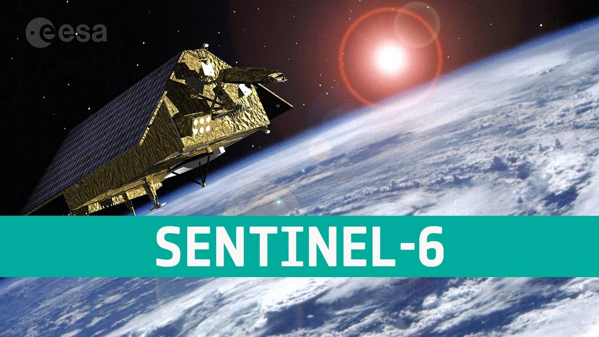
Sentinel-6 | Why Ocean Data Matters to YOU!
Let’s be honest, the ocean’s a bit of a mystery, isn’t it? We see the surface, maybe dip our toes in, but what’s really going on down there? That’s where the Sentinel-6 satellite comes in. But it’s not just another piece of tech floating in space; it’s a vital tool providing insights that are going to directly impact us here in India – and around the globe.
Why Should India Care About a Satellite Measuring the Ocean?
Okay, so you might be thinking, “I live in Delhi; what does the ocean have to do with me?” Here’s the thing: the ocean doesn’t stay put. It’s a massive, interconnected system that influences everything from weather patterns to global trade routes. Changes in sea level, which Sentinel-6 is meticulously tracking, can have devastating consequences. Think increased coastal flooding in places like Mumbai or Chennai. iOS and other tools, help predict these events.
Climate change is a global issue, and sea-level rise is one of its most tangible effects. Sentinel-6 isn’t just collecting data; it’s helping us understand how quickly our oceans are changing and providing critical information for making informed decisions about climate adaptation. As per the reports, indian ocean warming is happening at an alarming rate.
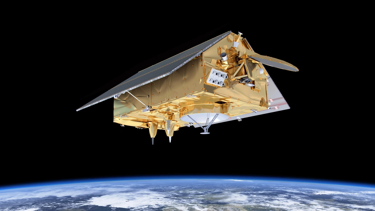
How Sentinel-6 Works | More Than Just a Ruler in Space
So, how does this satellite actually work ? It uses a technique called radar altimetry, which essentially involves bouncing radar signals off the ocean surface and measuring the time it takes for them to return. From this, scientists can determine the height of the sea surface with incredible accuracy – we’re talking millimeters! But here’s what fascinates me: it’s not just about measuring height. The shape of the sea surface tells us about ocean currents, temperature, and even the distribution of marine life.
And, because the sentinel 6 mission has been carefully calibrated, it provides the information we need for sea level monitoring .
The Ripple Effect | From Space to Your Plate
Let me rephrase that for clarity. This isn’t just about abstract scientific data. The information gathered by Sentinel-6 has real-world implications. For example, better understanding of ocean currents helps improve weather forecasting, leading to more accurate predictions about monsoon seasons. This is crucial for agriculture, which is the backbone of the Indian economy. Imagine being able to plan your planting schedule with greater confidence, knowing that you have the best possible forecast at your disposal. That’s the potential of this data.
Sentinel-6 also contributes to safer and more efficient shipping routes. Knowing the precise sea level and wave conditions allows ships to navigate more effectively, reducing fuel consumption and minimizing the risk of accidents. Think about the impact on global trade – faster, cheaper, and safer transportation of goods, all thanks to a satellite orbiting hundreds of kilometers above our heads.
Why This Mission is Different | Continuity is Key
The thing is, this isn’t the first satellite to measure sea level. We’ve had similar missions for decades. But what makes Sentinel-6 so important is its role in ensuring continuity. It’s essentially picking up the baton from its predecessors, providing an unbroken record of sea-level changes. This long-term perspective is essential for distinguishing between natural variability and long-term trends driven by climate change. Without this continuous data stream, it’s like trying to understand a movie by only watching random scenes – you miss the bigger picture. The jason-3 satellite also served in this capacity, before Sentinel-6.
Ocean observation satellites like Sentinel-6 are part of an international effort, brok to understand the ocean. To delve deeper into the mission specifications, you can visit the official ESA website:ESA Sentinel-6.
The Future of Our Oceans | Data-Driven Decisions
Ultimately, the Sentinel-6 mission is about empowering us to make better decisions. Armed with accurate and reliable data, policymakers can develop more effective strategies for mitigating the impacts of climate change. Businesses can make informed investments in coastal infrastructure. And individuals can take steps to protect their communities from the threats of rising sea levels. This is not a far-flung future; it’s happening now. Let’s all keep an eye on the data and advocate for a future where our oceans are understood and protected.
FAQ Section
What exactly does Sentinel-6 measure?
Sentinel-6 primarily measures sea surface height, which helps scientists understand ocean currents, temperatures, and long-term sea-level changes.
How accurate are Sentinel-6’s measurements?
Sentinel-6 can measure sea surface height with an accuracy of just a few millimeters.
Why is it important to have a continuous record of sea-level measurements?
A continuous record allows scientists to distinguish between natural variations and long-term trends caused by climate change, enabling more informed decision-making.
How does Sentinel-6 data help India specifically?
It improves weather forecasting, which benefits agriculture, and enhances the safety of shipping routes, which boosts global trade.
Is Sentinel-6 the only satellite monitoring sea levels?
No, Sentinel-6 is part of a larger network of satellites that contribute to our understanding of the oceans. Copernicus programme satellites include the Sentinel-6.
Who is involved in the Sentinel-6 mission?
Sentinel-6 is a collaborative effort between the European Space Agency (ESA), NASA, and other international partners.